Sisseton Area
Sica Holow State ParkLength: 15 Miles, Not Continuous
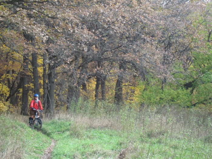
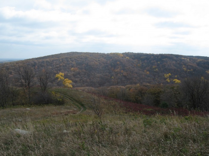
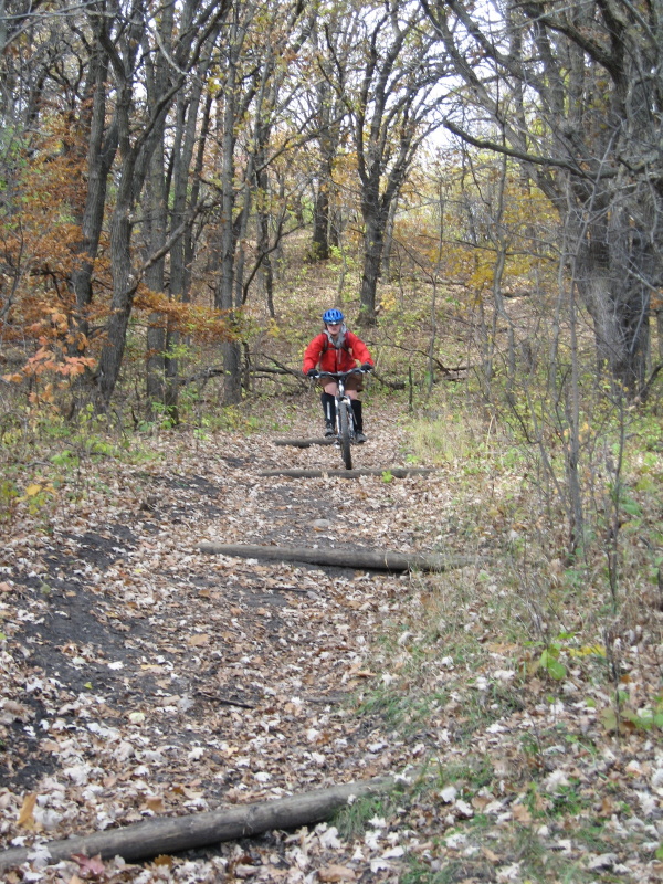
Trail Type: Medium Width Single Track Technicality: Moderate, W/ Log Water Bars Exertion: Moderate Pets: OK, Watch For Horses Map: Sica Hollow Trail Map Directions: Take I-29 south from Fargo to South Dakota Exit 246. Head West on #127 continuing straight onto #106. Turn Left on #6 and finally right onto #12. Watch for state park sign and turn into the picnic area on your left.
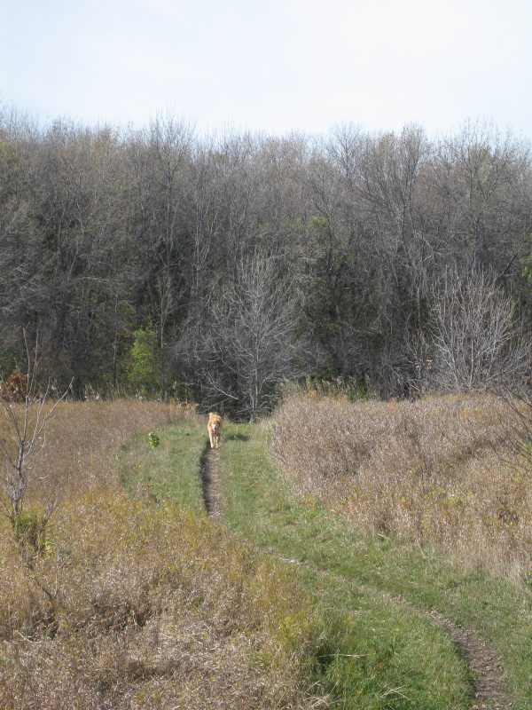
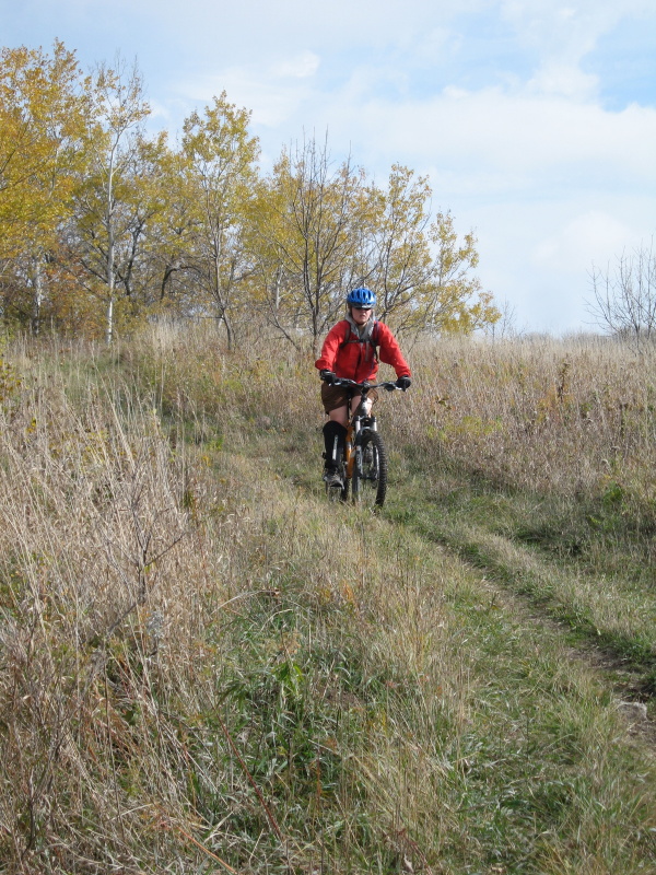
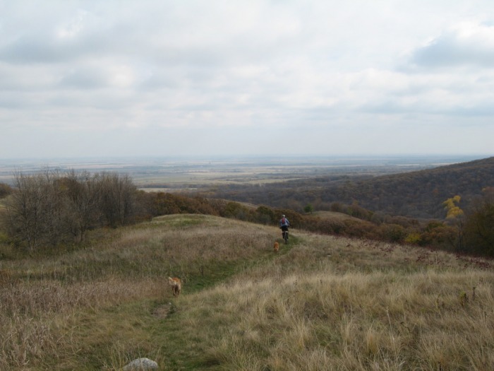
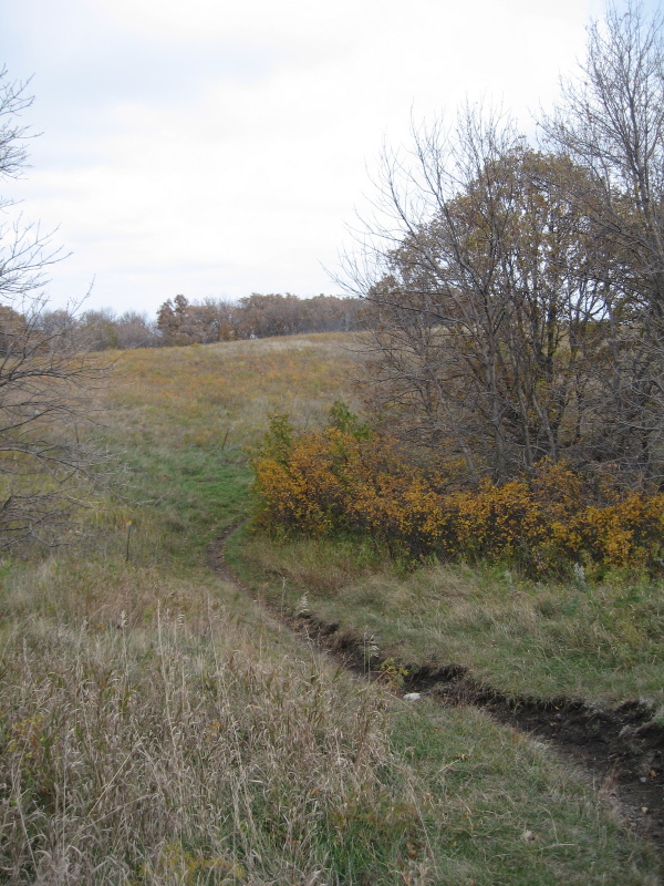
Nice single track with views. If you are driving by give it a try. The water bar sections are fun to climb and descend. Click here for the official trail map. (Sica Hollow Trail Map)
|
View Sica Hollow State Park Trail in a larger map |