Minot Area
Bison Plant TrailLength: 3.5 miles (bike), 2.1 miles (run)
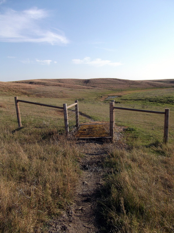
Trail Type: Tight Singletrack Technicality: Moderate W/ Tight Trees Exertion: Moderate Pets: OK Directions: Follow hwy US 52 east from Minot 2.5 miles past the Hwy 2 exit. Turn left just past the KOA on River Bend Rd. and continue 1/3 miles. Park where a gated road leaves to the left (just past railroad crossing). This gate is sometimes open but it is best to park outside without blocking passage. Head down this road about 100ft and you will find the trail crossing the road. Both directions are good.
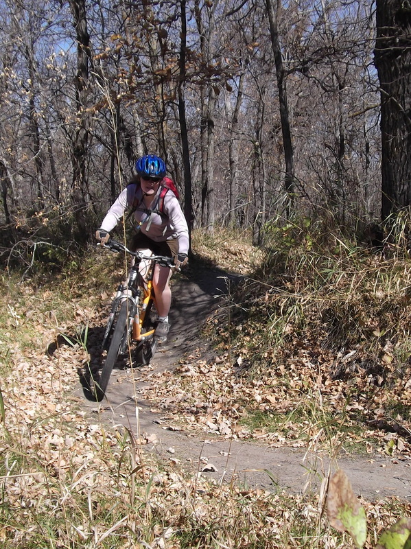
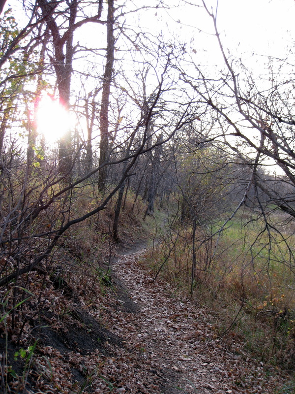
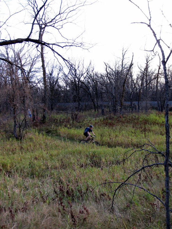
This is Minot's little jewel. This trail appears to have been a work in progress with more trail being added when time allowed and the work has payed off. The trail is now entirely comprised of single track trail looping through a beautiful stash of city owned wooded land. It offers excellent shade and varies from fast hard pack dirt cruising sections to tight technical sections switchbacking through the trees with lots of elbows rubbing making it a lot of fun. Its location just outside of town makes it a great place to go pump out a couple laps after work. There is also a shorter variation of the trail used for running and all trails are well maintained and mowed.
|
View Bison Plant Bike Trails in a larger map |
Black Butte Adventures TrailLength: 8 miles
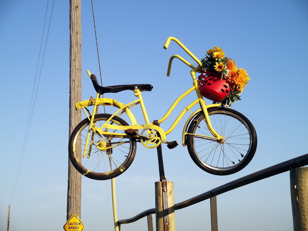
Trail Type: Tight Singletrack Technicality: Moderate W/ Muddy Water Crossing Exertion: Moderate, Gentle Climbs, Bumpy Trail Pets: OK Directions: Follow US Hwy 53 east from Minot 12 miles. Turn left on Co Hwy 23 and follow into Sawyer. At stop sign turn left on Dakota Ave and continue North out of town on Hwy 23. At T intersection take right fork and head East on 121st Ave SE. Follow 121st 1.5 miles until you see a yellow bike and signs mounted on the fence to your right marking the trail head. Park here.
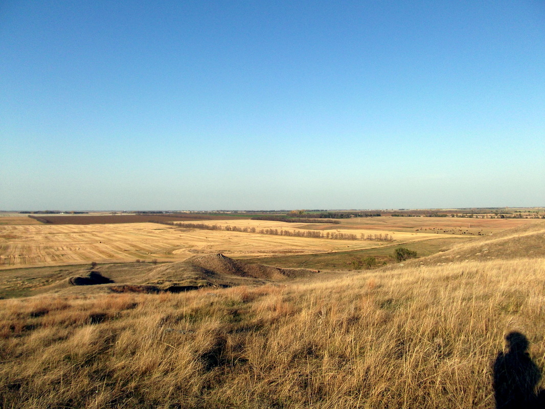
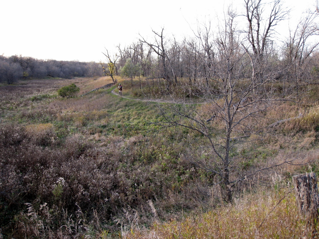
This is a beautiful ride that traverses pasture land above the river and climbs over Black Butte, easily the tallest butte for miles. The trail is tight singletrack with occasional rock technical sections, and one muddy water crossing. It circles the property following the elevation lines and switchbacks nicely up and back down the butte providing very nice views of the surrounding area. The main loop mapped here is about 5 mile. There is another 3 mile loop across the cattle guard in the southwest. When I last rode it this loop was hard to distinguish and easily lost. The main loop however gets plenty of use and is easy to find. This trail is entirely on private property so please take care of it and consider making donations at the trail head toward its upkeep. The trails also cross active pasture land so treat the cattle and horses with respect. Use of the trail is a privilege, not a right. Enjoy.
|
View Black Butte Adventures in a larger map |