Jamestown Area
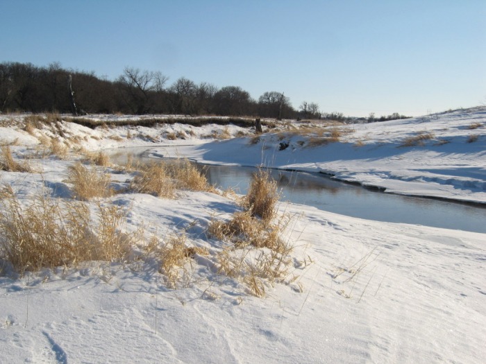
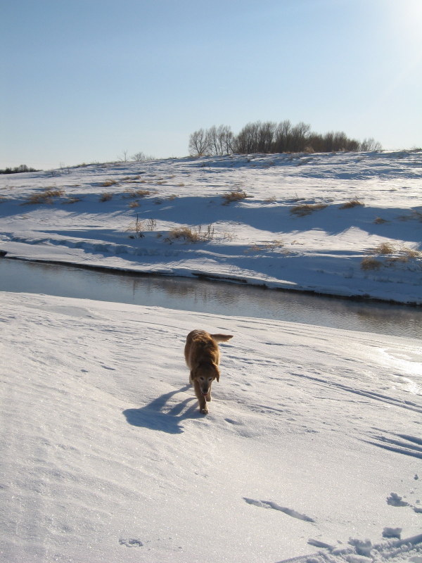
Pipestem Creek (Gear Grinder)Length: 8 miles
Trail Type: Tight Dirt Singletrack Technicality: Moderate\High Exertion: Moderate\High Pets: OK Map: Pipestem Creek Map Location: Travel 4 miles north of Jamestown, ND on Highway 281. Turn Left at the sign for Pipestem Dam. The trail head is on the left just past the the right hand entrance to the overlook/visitor center.
This is a very fun tight trail. It uses the available vertical very well climbing up and down the ridge below the dam. This is the best in the area. For the official map click here.
|
View Pipestem Creek Trail, Jamestown ND in a larger map |
North RidgeLength: 5 miles
Trail Type: Single Track Technicality: Moderate Exertion: Moderate Pets: OK Map: North Ridge Map Location: Travel 4 miles north of Jamestown, ND on Highway 281. Turn Left at the sign for Pipestem Dam. The trail head is on the small spur road just before the overlook/visitor center on the right.
Not as technical as the gear grinder but more high quality single track with a view. If you have all afternoon connect the two. For the official map click here.
|
View North Ridge Trail, Jamestown, ND in a larger map |
White Cloud Nature TrailLength: 10.7 miles
Trail Type: Single Track Technicality: Moderate Exertion: Moderate Pets: OK, Watch Road Crossings Map: White Cloud Nature Trail Map Location: Heads south off the he west end of the Veteran's Memorial Bridge in McElroy Park down the hill from the buffalo in Jamestown, ND.
Fun single track with some hills. Take a map and be ready for a few road crossings. This trail manages to connect about a dozen green spaces and is a true work of art. For the official map click here.
|
View White Cloud Nature Trail, Jamestown, ND in a larger map |