Grand Forks Area
GreenwayLength: 5 miles
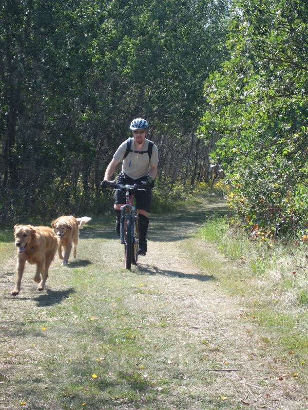
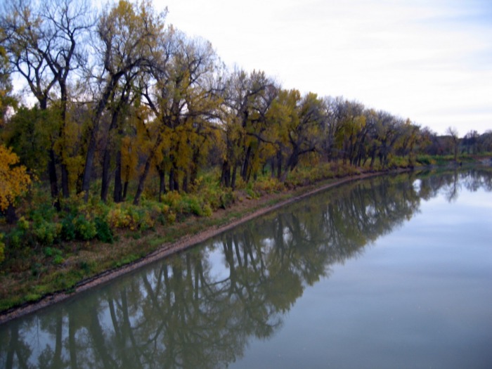
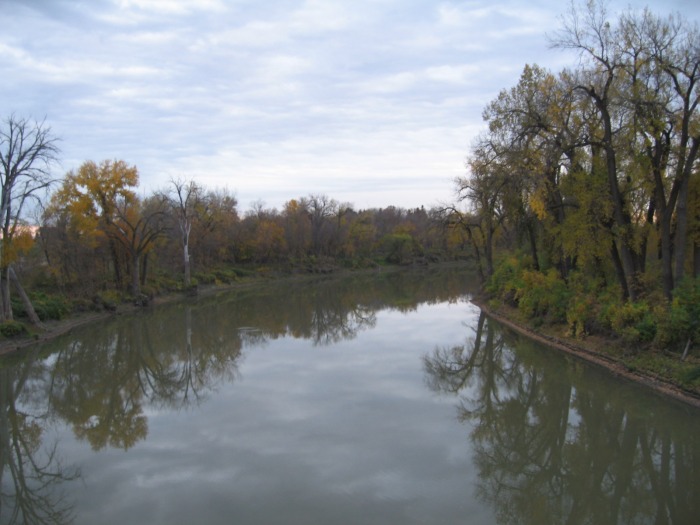
Trail Type: Double Track 4-Wheeler Width Technicality: Moderate, Mostly Smooth, But Sometimes Bumpy W/ Root and Brush Exertion: Moderate, Bumpy and Brushy Pets: OK, City Leash Law Directions: Trails are unofficial 4-wheeler trails that follow the Minnesota side of the Red and Red Lake rivers where they pass between Grand Forks and East Grand Forks. To Find them cross the southern pedestrian bridge near the Lincoln Park Golf Course. The trail passes beneath the bridge on the Minnesota side of the river. Depending on the time it extends several miles south and north to the Red rivers junction with the Red Lake river where you pass under the vehicle bridges briefly joining the paved Greenway trail. The trail picks back up at the site of an old rive pump station just past the boat launch. This spur bounces off the paved trail several more times but continues quite a way up the Red Lake River. Visit http://www.grandforksgov.com/greenway/Maps.htm for official maps of paved and groomed trails etc.
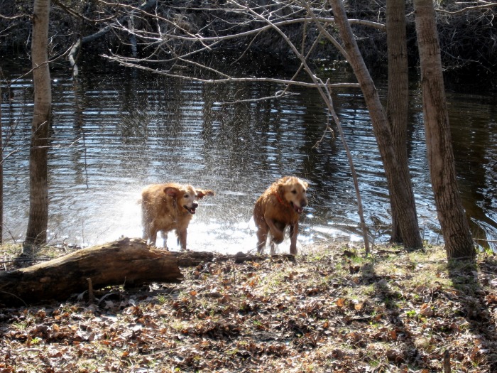
These unofficial 4-wheeler trails kept us sane while living in Grand Forks. They are close and although not particularity hilly or technical they provided us with much needed relaxation and exercise both during the summer on bikes and the winter on skis. Finally their width is a blessing in the Red River Valley, keeping the brush manageable. Be warned that much of the ground traversed by these trails floods many years and as a result the exact paths change year to year as new obstacles appear and old ones float away.
|
View Greenway Double Track Grand Forks North Dakota in a larger map |


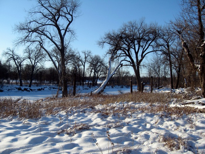


Turtle River State ParkLength: 6 miles
Trail Type: 40% Single Track, 60% Double Track Technicality: Low Exertion: Low/Moderate, Single Track Is Smooth and Fast, Double Track Is Bumpy Pets: OK, Leash Law, But Trail Is Not Heavily Used Maps:Summer Trail Map, Winter Trail Map Directions: Drive 18 miles east from Grand Forks, ND on Highway 2 and turn right when you see the park entrance sign for Turtle River State Park. Follow road about a mile, just past the ranger station (fee area) and you will see a small parking area on the left. There is a permanent map at the trail head and loose copies available at the ranger station or printable online here Summer Trail Map, Winter Trail Map. For more information visit the state park website at http://www.ndparks.com/parks/trsp.htm
While there is not a great quantity of single track available whats here is very fast and fun. It loops up and down along the creek banks and surprisingly there are some hills. If you have ever been to Grand Forks you will understand why this is strange. We usually ride at least the single track sections several times. Print a map to take along the first time because there are numerous stray roads and mower tracks that can lead you astray.
|
View Turtle River State Park Bike Trail in a larger map |


Lake Bronson State ParkLength: 5 miles
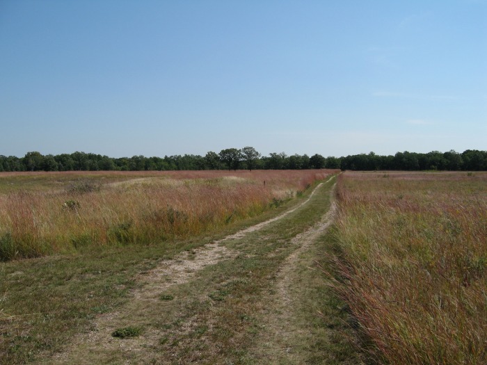
Trail Type: Grass Double Track Road Technicality: Low Exertion: Medium, Lumpy Grass Pets: OK Directions: Located 2 miles east of Lake Bronson on County Highway 28 about an 80 mile drive from Grand Forks, ND.
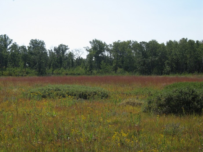
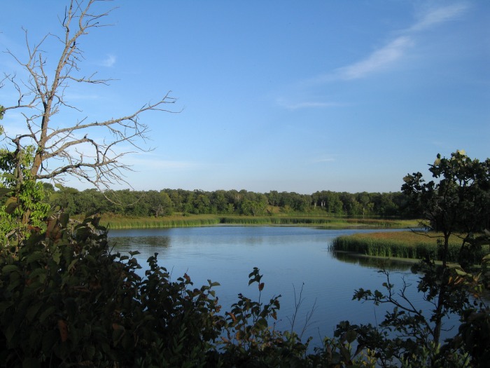
Park advertises mountain biking, but it is only mountain biking in a loose use of the term. The terrain is quite flat and the trail is almost entirely road width and grass covered. This makes for a bumpy experience which can certainly get you exercise and their are some nice views and great camp sites, which provided us with a very nice weekend. But not a biking destination.
|
View Lake Bronson State Park Bike Trail in a larger map |